
Annandale ZIP Code Directory: Verified Postal Coverage
For Annandale, 22003 is the verified core postal code. Fairfax County facility and property examples consistently use it for Annandale addresses, including locations on Little River Turnpike, Woodburn Road, Columbia Pike, Ravensworth Road, and residential streets. The other numbers below are nearby delivery labels that require address-specific confirmation. Annandale is an unincorporated Fairfax County CDP, not City of Fairfax, and a postal label is not a municipal boundary.
| ZIP | Areas or addresses covered | Post office | Notes |
|---|---|---|---|
| 22003 | Primary Annandale delivery area, including official county examples and community facilities | USPS Annandale delivery area | Verified core; exact station assignment should be checked in the USPS locator |
| 22042 | Nearby north or west Annandale and county-border addresses when a specific result returns it | Falls Church delivery area | Postal city wording alone does not prove City of Falls Church or an address outside the CDP |
| 22041 and 22044 | Bailey's Crossroads, Seven Corners, and nearby south or east Fairfax postal areas | Falls Church delivery areas | Not core Annandale numbers; verify through USPS and Fairfax mapping |
The official research does not provide a stable, address-specific map for every delivery polygon that intersects the Annandale CDP. That gap is a reason to lead with 22003 and preserve uncertainty around the adjacent areas, not a reason to claim a broad postal range for every local block.
Annandale ZIP Code Lookup Starts With an Address
The USPS lookup is the authoritative first check for a particular delivery address. It has a By Address tab and a By City and State tab, and it can also return recognized city names from a number. Use the standardized spelling it returns, then keep the result separate from a county situs or census designation.
- Open the USPS ZIP Lookup and select By Address for a complete residential or corporate street address.
- Enter the street address, unit detail if needed, city, and Virginia. The company field is optional, and a known ZIP may be supplied or omitted.
- Select Find and retain the standardized address and returned delivery number in the research notes.
- If the address is incomplete, use By City and State only as a discovery step, then return to the full address before assigning a local label.
- Compare the result with Fairfax mapping or a county parcel record when the purpose is to understand geography rather than mail delivery.
USPS specifically warns that a result does not confirm that a person or company is at the address. It verifies postal formatting and delivery geography, not identity, occupancy, or a legal boundary.
Fairfax Postal Map Selection for Annandale
Fairfax County's interactive ZIP map adds the local geographic layer. Its search accepts an address, place, or ZIP. A map feature can be clicked to populate a data table, multiple features can be selected, and Save Selection or Save All can export the result. The map is useful for comparing a chosen postal area with county context, but its IPLS 2025 source and rounded totals mean it is not a legal boundary survey.
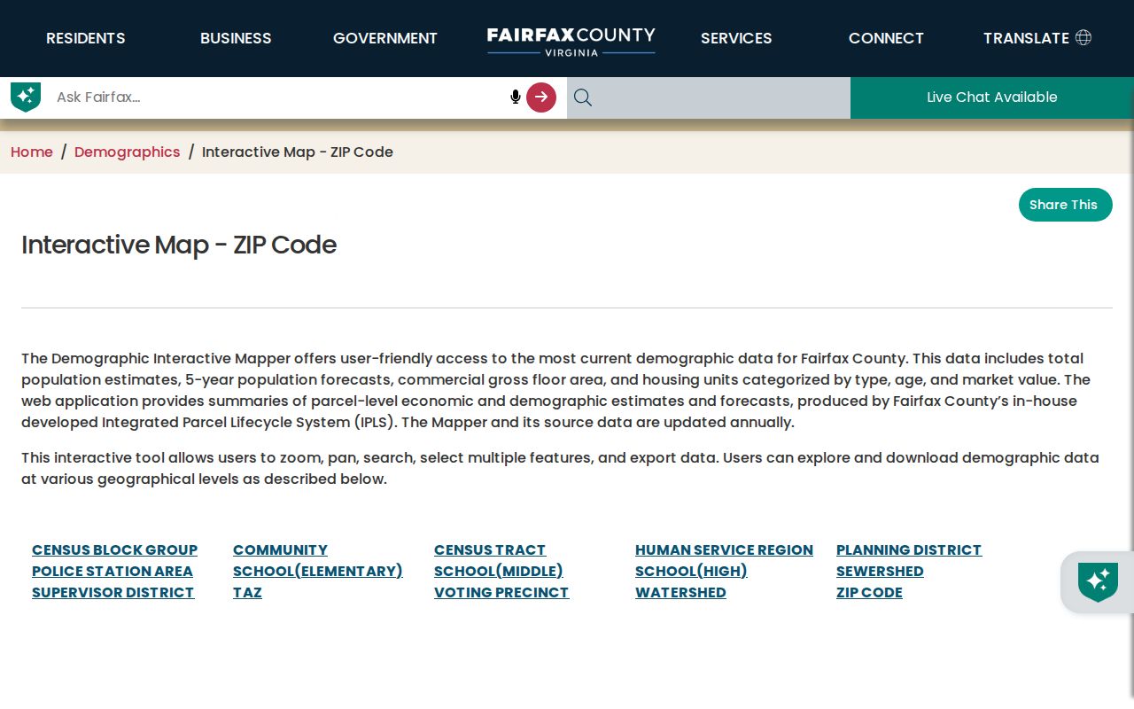
The map works best as a selection tool. Start with an Annandale address or 22003, inspect the selected feature, and export only the geography needed for the question. Pair it with the Master Address Repository or a parcel record when street names, parcel relationships, or site-address validation need to be resolved.
Finding Records Within One Annandale ZIP
A postal area can narrow a research question, but it does not create a countywide people index. The safe workflow moves from a confirmed delivery address to the kind of county record that is actually organized by address, parcel, or land-development case. Once the search reaches a particular street, the Annandale street directory provides the fuller address-keyed research path.
- Verify the full delivery address with USPS, especially where 22042, 22041, or 22044 appears in a broad-area search.
- Use the Fairfax postal map to select or export the relevant delivery geography, recognizing that it is a mapping layer rather than a list of people.
- For a known parcel, use iCare by address, map number, or map, then retain the property location, PIN, and legal description with the mailing information.
- Use Jade for address, street, PIN, intersection, or subdivision work, and use its parcel and map layers to reconcile a county location.
- Use PLUS only for its documented land-development record fields, then confirm any result through the appropriate county custodian.
A broad delivery number remains a filter or a map selection, not proof of residence. The Fairfax record systems have different purposes, access limits, and search fields, so their results should not be merged into a single roster.
Annandale ZIP Code Fields in Fairfax Portals
The available portals do not offer the same kind of postal filtering. USPS is the address-level verifier. Fairfax GIS maps the delivery geography, while iCare and Jade use parcel or address pathways. PLUS has a segmented ZIP Code field, but it returns matching land-development records rather than a directory of people. The Virginia voter Citizen Portal has no public ZIP-wide browse.
| Portal | Captured fields or mode | What the postal field can do | Limit |
|---|---|---|---|
| USPS Lookup | Street Address, Apt/Suite/Other, City, State, ZIP | Standardizes a particular address and returns delivery information | Does not establish a person or company at that address |
| Fairfax ZIP GIS | Address, place, or ZIP search; feature selection and export | Selects mapped delivery geography | Parcel-based map layer, not a people index |
| iCare | Address, Map Number, Map Search | Anchors a known property; no verified broad ZIP-only filter | Use map browse or DTA data and records channels for wider parcel work |
| Jade | Address, street, location, PIN, intersection, subdivision | Can locate county addresses and parcel layers | No documented ZIP-wide parcel filter |
| PLUS | Segmented ZIP Code plus city, state, site address, parcel, and record fields | Finds matching land-development records | Not a resident list |
| Virginia voter portal | Locality, date of birth, and identity fields | Own-record and status pathway | No public browse by delivery number |
For a request for existing county records, Virginia Freedom of Information Act procedures in Va. Code §§ 2.2-3700 through 2.2-3715, especially § 2.2-3704, require reasonable specificity. The law does not require an agency to create a new ZIP-wide resident list.
Why Annandale ZIP Codes Do Not Define a City
ZIP boundaries are postal delivery geography, while Annandale is a census-designated place in Fairfax County. An assessor record may use Annandale, Virginia 22003 for a situs, while a nearby Fairfax County parcel can use Falls Church, Virginia 22042 as its postal address. The postal city, CDP, independent city, county, and parcel location are separate fields and should be preserved as such in research notes.
- ZIP versus ZIP+4
- A ZIP identifies a broad delivery area; ZIP+4 adds a more specific delivery segment. Neither is a legal jurisdiction.
- PO Box ZIP
- A delivery code used for post-office boxes. It describes the box delivery arrangement, not where the box holder lives or owns property.
- Unique ZIP
- A code associated with a single organization or large delivery arrangement. It should be identified only when an official postal result documents it.
- Carrier route
- A postal delivery grouping used to organize mail handling. It is not a census, CDP, county, or municipal boundary.
Annandale 22042 Is an Address-Specific Caution
22042 is a nearby Falls Church postal label near north or west Annandale and the county border. It belongs in an Annandale research path only when a complete address returns it through USPS or a county record. A mailing line that says Falls Church does not, by itself, place a property within the independent City of Falls Church or outside the Annandale CDP.
The same caution applies to 22041 and 22044. They can appear in broad descriptions of the Annandale area because nearby corridors and communities overlap in everyday language, but the official research does not treat them as core Annandale postal coverage. Retain the full street address and compare it with MAR, iCare, or the county ZIP map before describing a location.
Annandale ZIP Code Records: Mailing Address and Situs
iCare demonstrates why a delivery code must be read with the right field. A property result can show the owner mailing address next to the property location, PIN, current book and page, legal description, land-use or zoning, and refresh date. The mailing address may be a post-office box, business address, or address in another state, so it is a contact or tax-notice clue, not proof that an owner occupies the parcel.
Fairfax's official examples make the distinction concrete. The 3289 Woodburn Road property has an Annandale 22003 situs and a Chicago owner mailing address; an Annandale Shopping Center example has a local P.O. Box. Record property location, mailing location, and owner type as separate facts. This protects a family-history or property-curiosity search from collapsing different geographic roles into one assertion.
Annandale ZIP Code Directory Limits
No documented ZIP split or realignment year affecting Annandale was located in the official sources. The sound current path is USPS verification for the exact address, followed by the dated Fairfax ZIP map and the county's authoritative address or parcel tools. Do not invent a local postal-history date from a boundary impression or a broad city-name result.
Postal research has useful limits beyond mapping. VFOIA permits requests for existing records that are reasonably described, and a public body may charge actual search, review, redaction, and copy costs or require a deposit when an estimate exceeds $200. It is an access law, not a tool for creating an identity list from a delivery area.