
Walk an Annandale Street by Address
Begin with the exact number, street name, type, and locality. Fairfax County address tools can confirm whether that form matches the present parcel. An Annandale street can approach an independent city or use a postal label that differs from the legal jurisdiction, so confirm the parcel before opening a court record. The property trail identifies a recorded owner and land description. It does not create a complete list of people at each door.
The useful order is address, parcel identifier, current tax record, recorded deed, then historical directory evidence. A voter record has narrower rules: the public Citizen Portal is for a person's own registration status, not a browse of everyone on a street. Historic reverse or criss-cross volumes can add an address-to-listed-name clue for a particular year, but only the volume itself establishes what it printed.
- Validate the street number and type in Fairfax Master Address Repository or Jade, then save the parcel PIN or map number.
- Open Fairfax iCare by address or map number. Record the situs, owner display, mailing address, legal description, and current book/page.
- Use the PIN and legal description in Jade to see the parcel shape and nearby lots. Treat that map as a locator, not a title document.
- Search the current grantee or book/page in Court Public Access Network for the recorded instrument and its prior-reference language.
- For a dated household clue, ask the Virginia Room for the appropriate reverse or criss-cross directory and read its abbreviations and year before drawing a conclusion.
Note: A recorded owner, a tax mailing address, and a listed resident answer different questions and should never be merged without supporting evidence.
Validate Annandale Street Records First
Annandale is a Fairfax County census-designated place, not an incorporated city. The county's Bonds and Addressing Center assigns site addresses for emergency response and delivery, and the Master Address Repository is the authoritative source for county site addresses, street names, and parcel relationships. The Fairfax maps hub links to MAR, Jade, the Digital Map Viewer, imagery, and related county applications.
An old deed may name a road, farm, subdivision, lot, or tract rather than a modern number. A later address change, street-name change, unit designation, or subdivision-name correction can leave several valid forms in the record chain. Fairfax has an address-change process through PLUS, but no official Annandale-wide renumbering year was located. Preserve each form you find rather than assigning a date to a change that the records do not document.
- Parcel
- A defined piece of land represented by a Fairfax PIN or map number and parcel geometry.
- Situs address
- The physical property location used by the tax roll. It can differ from the owner's tax-mailing address.
- Plat
- A recorded map that can show subdivision lots, blocks, roads, dimensions, and boundaries.
- Criss-cross directory
- A dated reverse directory arranged from address to listed name, telephone, or business entry.
Search Annandale Street Parcels
The Department of Tax Administration keeps the county assessment record in iCare. Its home screen offers Search by Address, Search by Map Number, and Map Search. Address is the best starting point when a current street number is known. Map-number searching is often better when an old map, deed, or plat provides the PIN. iCare refreshes ownership, sale date, and sale price data twice weekly, but its internet display can show “Name Withheld by Request.”
Read the resulting fields as separate facts. Property Location is the situs. Mailing Address is the destination for tax mail and may be a post-office box, business, or another state. Book/Page is a useful bridge to land records, while the legal description connects a newer address with a subdivision lot or older tract. The county's real-estate tax guidance gives DTA phone, email, and walk-in routes when the web result is incomplete.
| iCare field or mode | Use on an Annandale street | What it supplies |
|---|---|---|
| Search by Address | Find a current situs | Parcel selection by property address |
| Search by Map Number | Join a PIN from a map or deed | Tax-map parcel result |
| Map Search | Browse a parcel when the number is uncertain | Map-based property selection |
| Owner and Mailing Address | Separate tax contact from location | Owner display and tax-mailing destination |
| Property Location and Map # | Confirm the real estate | Situs and Fairfax parcel reference |
| Book / Page and Legal Description | Move to the deed and plat chain | Recorded reference and subdivision or tract text |
| Land Use, Zoning, Sales, Assessment | Check parcel context | Property characteristics and assessment history |
Map an Annandale Street in Jade
Fairfax County Jade GIS can search a global address, street name, or location. Its layer searches are more precise: Parcel Search uses a PIN, Address Search uses house number, street name, and type, Street Intersection uses two streets, and Subdivision Search uses a subdivision name. Fairfax advises omitting the street type in a global search or using its abbreviation when needed.
Turn on Property & Planning layers before reading a street. Parcel and address-point layers establish the map relationship, while zoning, district, imagery, and environmental layers add context. The Select tool can click a parcel or draw a rectangle; results can be table-viewed, combined, buffered, or exported as CSV, XLSX, or a zipped shapefile. Jade's General Parcel Report adds owner, tax and assessment data, structure information, land-use code, and zoning. It remains a GIS analysis layer, not the legal land record, and its easement data is incomplete.
Compare Annandale Street Record Sources
One street can produce several record types, each keyed differently. MAR and Jade resolve the address and parcel relationship. iCare supplies a current assessment view. CPAN and the court's deed books establish recorded land interests. PLUS can show land-development activity, while its legacy counterpart handles some older material. Those sources should be read as a chain, not as interchangeable proof of who currently occupies a property.
| Address-keyed source | What it can show | Fairfax access path |
|---|---|---|
| MAR and Jade address points | Validated number, street type, parcel link, and map geometry | Free county GIS tools |
| iCare assessment | Situs, tax mailing address, owner display, PIN, book/page, parcel facts | Free web, DTA phone, or walk-in help |
| CPAN land index | Grantor, grantee, record date, instrument or book/page, and document class | Remote subscription or free courthouse terminal |
| Plat and property-map books | Lot, block, subdivision, roads, and older map layout | CPAN or court books; Digital Map Viewer PDFs |
| PLUS and LDIP | Site address, parcel, project, record type, dates, and status | Public PLUS search; legacy Land Development Information History |
| Virginia voter materials | Limited statutory registration fields or a person's own status | Registrar inspection or qualified request, not street browsing |
For an existing releasable county record outside those systems, the Virginia Freedom of Information Act, Va. Code sections 2.2-3700 through 2.2-3715, especially section 2.2-3704, requires reasonable specificity. VFOIA can seek an existing record, but it cannot compel Fairfax County to create a current street-by-street resident list.
Trace Annandale Street Deeds in CPAN
CPAN is the Fairfax Circuit Court's land-record access service. A grantor transfers an interest; a grantee receives it. Start from the iCare book/page, current grantee, or legal description, then look for the deed's recording date, parties, consideration, boundaries, plat reference, and the phrase “and being the same parcel.” That phrase can point to the prior instrument, which is more reliable than assuming an old street number appears in the index.
Fairfax land-record images run from 1742 to the present, but the access layers differ. Land index data is documented for 1980 forward in book 5391 and later, while index-book images cover 1742 through 1979 for books A1 through 5390. Deed indexes after 1866 are available through CPAN or the courthouse. Remote CPAN use requires a subscription; courthouse terminals provide public research access. Older original deed books belong at the Historic Records Center.
The CPAN access page shows the county's distinction between remote subscription access and the public terminal route.
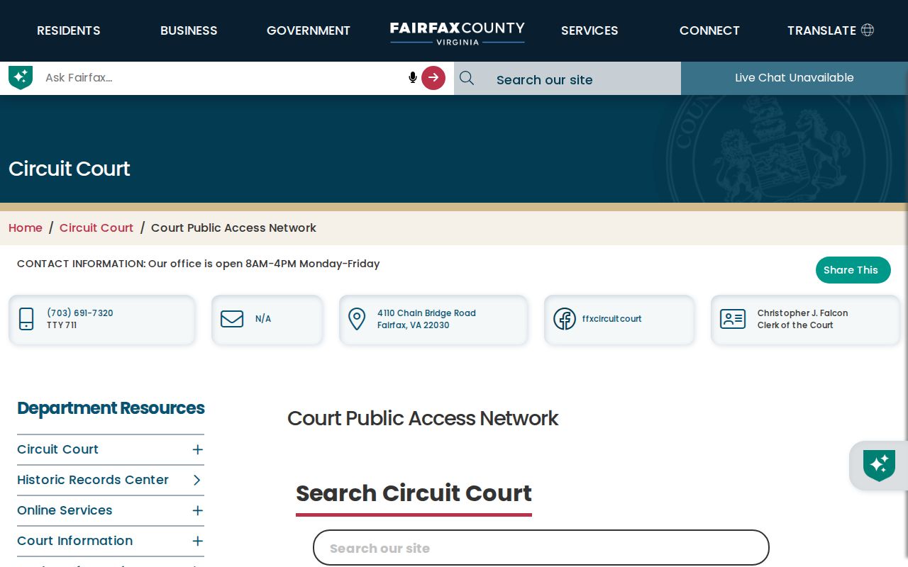
The image supports the access choice, while the deed image, courthouse book, or certified copy supplies the record needed for a particular Annandale property.
Check Annandale Street Change Records
Fairfax PLUS is the current land-development search for Site Address, Parcel Number, Contractor License Information, and Record Information. Its detailed fields include record number, record type, project name, date range, street number and range, street name, type, unit, city, ZIP, and parcel ID. A permit can date construction, remodeling, demolition, subdivision work, or an address change. It does not establish who lived at the address.
When a historical land-development record is absent from PLUS, Fairfax directs researchers to Land Development Information History. The research did not locate one universal Annandale coverage start date for PLUS, so use the current portal and legacy fallback rather than assuming a missing search result means no older record exists. A street-name change requires a county STREET record, a petition signed by at least 51 percent of lot owners, and a plat of all lots.
Read Annandale Street Map Books
The Fairfax Digital Map Viewer provides property-map products and annual property-map books back to 1960. Its 444 tax-map tiles can help bridge a modern PIN with an older subdivision layout, road alignment, or lot pattern. It is a map-history tool, not a resident index. Compare a map book with the recorded plat and deed boundaries when a street name has changed or a former tract has been divided.
Fairfax also supplies historic aerial imagery in Jade for multiple years from 1937 forward. Changes visible in an aerial or map book can suggest when a structure, road, or subdivision appeared, but a recorded instrument is still needed to establish an ownership change. This distinction keeps the street trail tied to the right kind of evidence.
Annandale Street Records Since 1742
Fairfax County was formed in 1742, and its Circuit Court says land records run from that year to the present. The Historic Records Center retains original deed books from 1742 through 1942, as well as older wills, probate, tax, and court materials. A current web search is therefore not the same thing as complete historical coverage. The Center takes appointments at 4110 Chain Bridge Road, Suite 317, and can be reached at 703-246-4168 or CCRHistoricRecords@fairfaxcounty.gov.
The Land Records Division research page describes the courthouse and archival paths for the older deed chain.
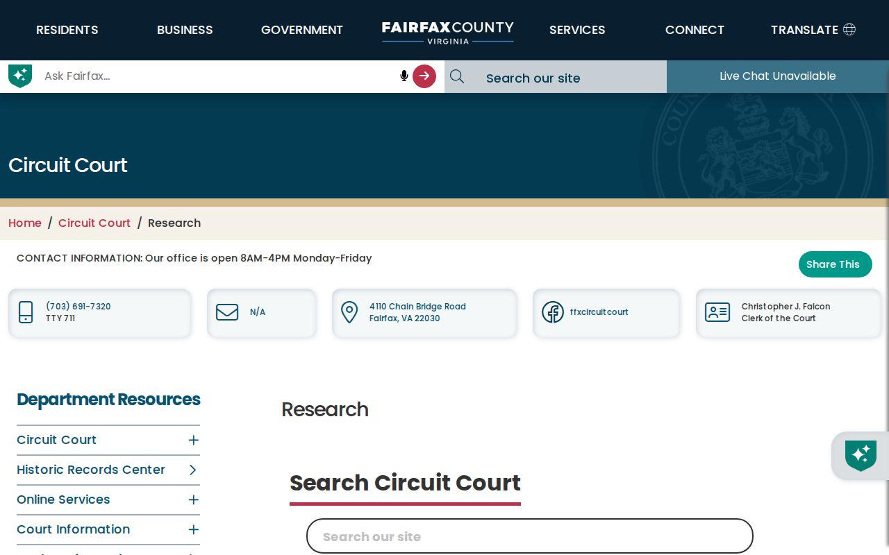
Use the public research route to locate the correct book or instrument, then preserve the legal description when carrying the trail from a modern Annandale address into an earlier tract.
Note: Court staff may explain index use, but Fairfax advises using a title company or attorney for extensive title research.
Limits of an Annandale Street Directory
A public property roll identifies a recorded owner or tax contact, not every person who lives at a location. Tax-mailing and situs addresses can differ. The state voter portal requires an individual to certify access to their own record, and the regulated voter-list process is not a casual street list. Renters, household members, utility customers, delivery recipients, and unlisted telephone users are not a complete public street roster.
Virginia protections also create deliberate gaps. iCare can withhold an owner name from its internet display, voter products omit protected information, and the Address Confidentiality Program protects qualifying physical addresses. VFOIA does not override those specific confidentiality rules. For a dated listed-name clue, the Virginia Room's directory shelves are the better historical route; the Annandale city directory collections give that shelf its own year-by-year context.
Lawful use. Annandale street records are for personal, civic, family-history, and property research. Do not use an address trail to stalk, harass, intimidate, or harm anyone.