
Annandale Neighbors by Block
Fairfax County sources can describe the parcels surrounding an address, but they do not establish a complete set of current residents. Jade identifies adjacent land and address points. iCare adds assessment fields for each parcel. CPAN holds recorded instruments. The county neighborhood portal adds public-service and civic context. Use each source for the fact it actually maintains, especially when a property mailing contact differs from its physical location.
| Block source | What it shows about an Annandale block | Access |
|---|---|---|
| Jade parcel select and buffer | Adjacent polygons, PINs, address points, map attributes, districts, imagery | Free county GIS selection, table, and export tools |
| MAR address points | Valid address form, street type, and parcel association | Free county GIS application |
| iCare assessment | Owner display, mailing and situs addresses, PIN, tax and parcel facts | Free web with DTA office fallback |
| CPAN land records | Recorded parties, deeds, liens, easements, plats, and legal descriptions | Courthouse terminal or remote subscription |
| Neighborhood and My Neighborhood tools | Public services, precinct, civic geography, and association contact paths | County community pages |
| Voter materials | Limited statutory fields and a person's own status, not all occupants | Office inspection or qualified request |
Owner, occupant, and mailing contact are not synonyms. A block map may show a parcel sequence, and the tax roll may identify a recorded owner, yet neither proves who is currently inside a particular home. That distinction is the central limit of an Annandale neighbor search.
Select an Annandale Neighbor Parcel
Use Jade with a Global Search, Address Search, or PIN search. Once the starting parcel appears, turn on the Parcels and Address Points layers in Property & Planning. The exact map flow matters. With the layers turned on, select the parcel polygon, zoom to the street segment, then click adjacent polygons or drag a small rectangle. Without an active property layer, a map click can return only a basemap tip.
- Find the starting site by global address, address fields, or PIN, and select the correct parcel.
- Turn on Parcels and Address Points, then use Select to click an adjacent polygon or draw a rectangle around a small part of the block.
- Choose Show Buffer Options when a controlled radius is more useful. Zoom to Feature or Zoom to All to inspect the selected area.
- Open the result table, review attributes and PINs, then export CSV, XLSX, or a zipped shapefile only when a saved research list is needed.
- Run General Parcel Report for a selected parcel, then use the PIN to check iCare and CPAN. The report is an aid, not resident proof.
The Jade help page documents the select, buffer, zoom, table, and export tools used for that close-range block review.
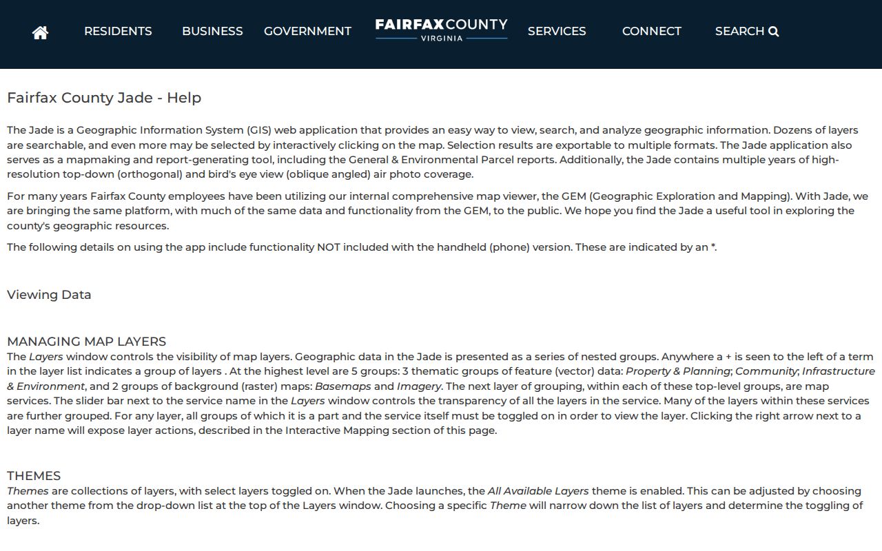
The screenshot reflects the map-tool stage. It should be followed by a parcel-specific assessment or recorded-land check before treating any name or boundary as authoritative.
Join Annandale Neighbor Records by PIN
The Fairfax parcel identification number, also called a map number, is the dependable join key across the local property systems. It appears in iCare, Jade, the Master Address Repository, PLUS, and court references. Preserve spaces and letters exactly. A PIN can keep the investigation on the same piece of land when an older deed lacks a modern number or when a street has a new label, a unit designation, or a revised address.
Open iCare by address or map number after selecting a polygon. Its card can show owner display, mailing address, property location, book/page, land-use code, zoning, legal description, sales, and assessment information. Use the book/page or legal description to reach the Fairfax Circuit Court instrument in CPAN. The recorded deed controls the legal ownership question; GIS geometry and iCare fields make the connection easier to locate.
iCare's three entry modes are Search by Address, Search by Map Number, and Map Search. A web result may display “Name Withheld by Request,” so an empty owner display does not mean the parcel has no recorded owner. The Department of Tax Administration can provide a phone, email, or walk-in route for an assessment question. General Parcel Report in Jade can add tax, structure, land-use, and zoning detail, but it does not override the county's withholding rules or convert a property result into evidence of current occupancy.
A concise block flow is: address to Jade, selected parcel to PIN, PIN to iCare, book/page or legal description to CPAN. Each arrow changes the kind of evidence, so retain the source and date for every result.
Annandale Neighbor Community Contacts
Community organizations can explain a neighborhood's civic structure, boundaries, meetings, or projects. They are not substitutes for a public household directory. Fairfax's research identifies an umbrella group for Mason District associations and HOAs, central-Annandale revitalization context, and a local civic association with a published contact route. None of those findings supports a complete member list.
| Organization | Public role or contact route | Directory limit |
|---|---|---|
| Mason District Council | Umbrella association of Mason District civic associations and HOAs; verify current contact and meeting details through its published route | Civic contact layer, not a public membership list |
| Annandale Central Business District Planning Committee | Fairfax revitalization context for central Annandale; its membership includes business, commercial-property, resident, and Chamber interests | No public resident or member directory located |
| Annandale Acres Civic Association | Neighborhood association with a published contact email and description of its one-acre single-family-home area | No public member list; use the association contact route |
| Annandale Chamber of Commerce | Community and business connector referenced in local material | No verified current public roster URL located |
Do not infer residence from a meeting appearance, project reference, association contact, or public civic affiliation. Those records give community context, not a block-by-block identity record.
Use Annandale Neighbor Context Tools
The Fairfax Neighborhoods portal provides a safer way to understand a block when private association data is unavailable. Its My Neighborhood address tool can return public-service context such as precinct, schools, police and fire services, libraries, parks, elected officials, health resources, and nearby reported crime information. It also links to community profiles and association resources. These details explain the setting around an address without presenting private contacts as public records.
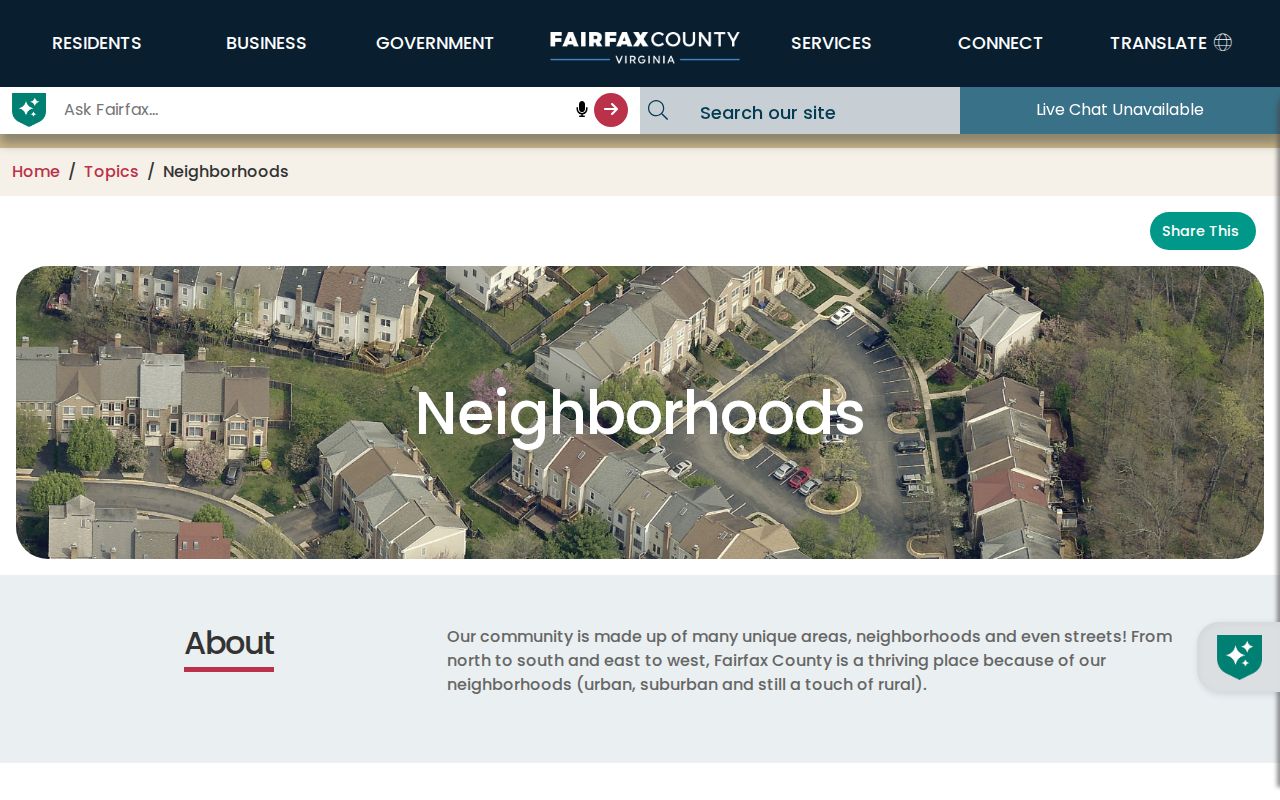
The county page is useful for public civic geography. It does not publish a complete list of people on an Annandale block.
Note: Start with a precise address because a postal city label, census-designated-place boundary, county jurisdiction, and ZIP area can overlap without matching exactly.
Compare Annandale Neighbor Map History
When the question is about a road, lot pattern, or subdivision rather than a current person, the Fairfax Digital Map Viewer is a useful second map source. It provides property-map products, including annual map-book coverage back to 1960, across 444 Fairfax tax-map tiles. A modern PIN or grid can connect an address to an earlier map page and show changes in the block's physical layout.
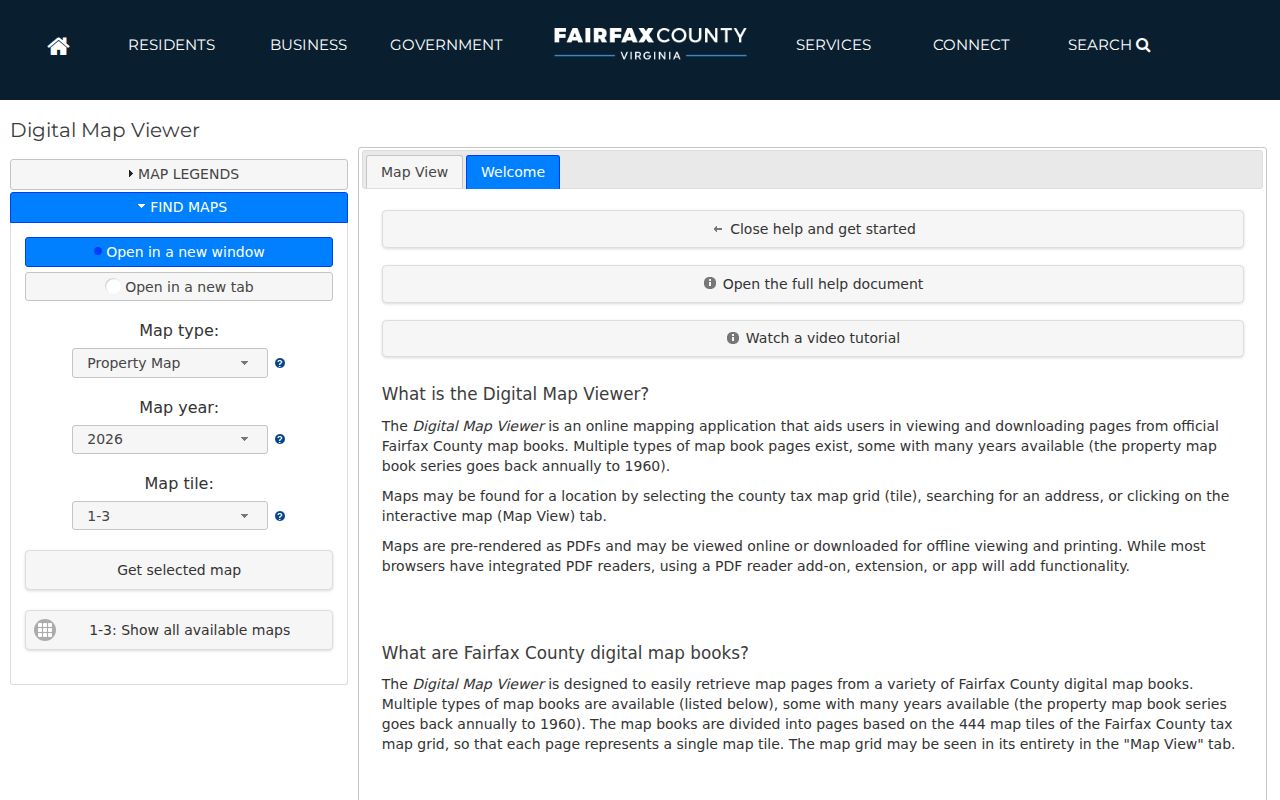
Map books and historic imagery can date development patterns or reconcile a road layout. They cannot establish present occupancy or replace the recorded deed.
Voter Limits for Annandale Neighbors
The Virginia Citizen Portal is a self-service status tool. Its current instructions call for the name on file, full date of birth, locality, an identity check, and a certification that the user is accessing their own record or has authorization. It can provide registration status, polling location, election district, ballot status, and voting history for that individual. It is not a lawful way to browse all voters on a block.
Public registration lists have statutory fields and exceptions under Virginia law, while fuller voter products require a qualified request under Va. Code section 24.2-405. The public list rules omit detailed identity fields, day and month of birth, declination information, registration-agency identity, and protected or substitute addresses. A missing result is not proof that a person does not live near the parcel.
For questions about a person's own record or a correction, the Fairfax Office of Elections is the right custodian. Its contact route is separate from a casual address search and respects the protections built into the state voter system.
Privacy Limits for Annandale Neighbors
Official parcel records can show recorded ownership and tax information, subject to withholding and other exceptions. They do not reveal household composition, utility customers, delivery data, or every person who stays at a property. Virginia's Address Confidentiality Program can protect a qualifying survivor's physical address. Voter protections also limit address information. The iCare owner-name withholding process suppresses a name from the internet display, though it is not a deletion of the underlying deed or every county record.
| Source type | Useful for | Important limit |
|---|---|---|
| Official Fairfax parcel and court records | Parcel, recorded owner, legal description, and instrument trail | Owner is not proof of all occupants; protected fields and withholding apply |
| County community pages | Public services, neighborhood context, and association contact paths | They do not create private association membership lists |
| Commercially compiled neighbor listings | Category-level lead that may need independent checking | Can be stale or merged, may charge fees, and may offer opt-out processes |
Virginia FOIA, Va. Code sections 2.2-3700 through 2.2-3715, is an access law for existing releasable records, not a way to force Fairfax County to assemble a new resident list. Its request procedure in section 2.2-3704 requires reasonable specificity. When a question extends beyond the close block, the Annandale street directory follows the address chain along a named street without changing these privacy limits.
Lawful use. Use block records for personal, civic, family-history, and property questions. Do not use information about Annandale neighbors to stalk, harass, intimidate, or harm anyone.